
TRAINING
DRONE OPERATIONS TRAINING Program
ARCH Airworks offers hands-on Drone Operations Training through its specialized programs focused on aerial surveys and Aerial Remote Sensing Assessments (ARSA). Designed for professionals seeking practical experience in drone-based data collection and analysis, our training covers both flight operations and geospatial interpretation.
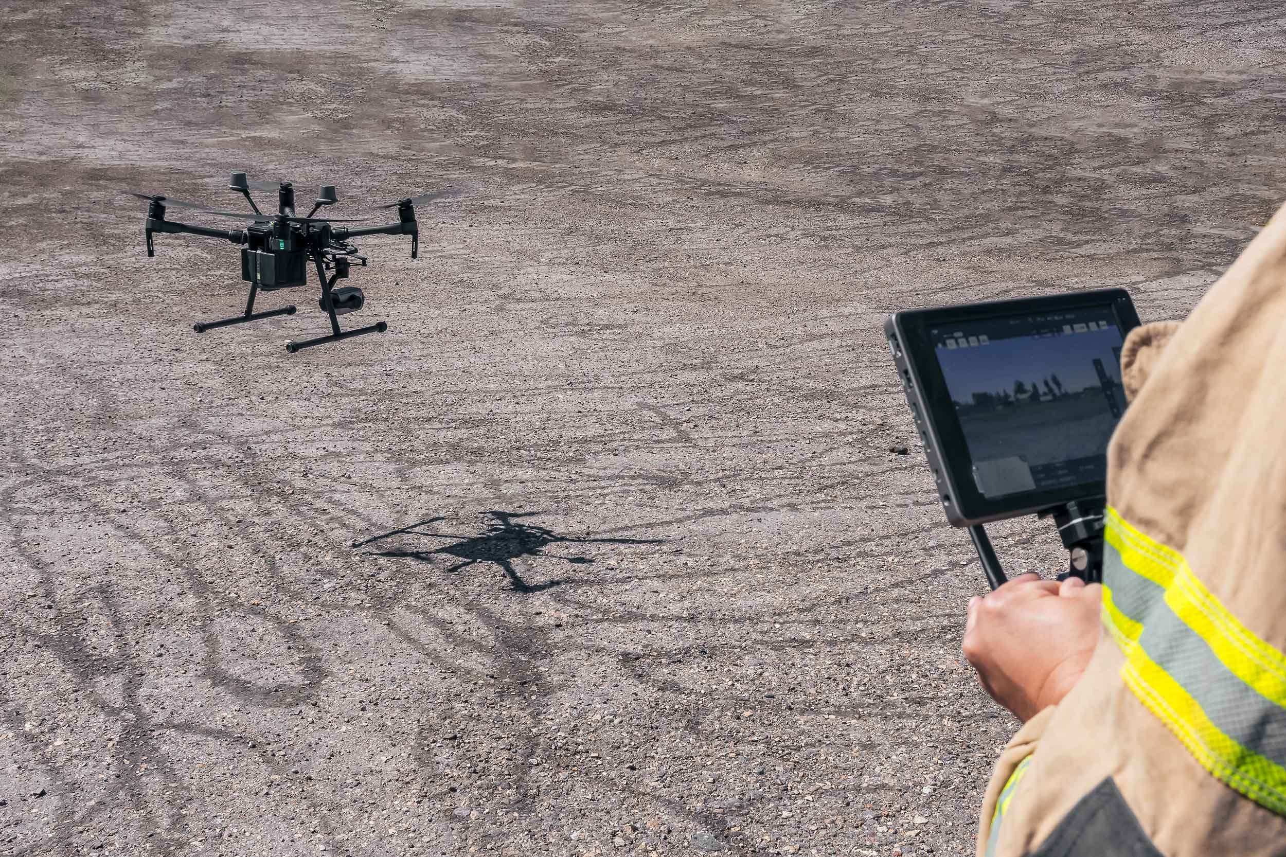
Participants gain critical skills in flight planning, GNSS/GPS usage, airspace safety, and multisensor deployment — with the option to book an in-person Flight Review to complete Transport Canada’s certification requirements.
Training includes classroom instruction paired with real-world datasets and guided computer-based exercises in processing and interpreting aerial imagery, LiDAR, thermal, and multispectral data using GIS techniques.
Whether you're preparing for certification or expanding your geospatial skillset, ARCH Airworks provides industry-aligned training that’s accurate, ethical, and field-ready.
Our instructors bring real-world project experience to every session, ensuring trainees gain both confidence and competence. Courses can be tailored to individual or organizational needs, with flexible scheduling available across Canada.