PROCESS
At ARCH Airworks, our process is designed to deliver clarity, precision, and impact — every step of the way.
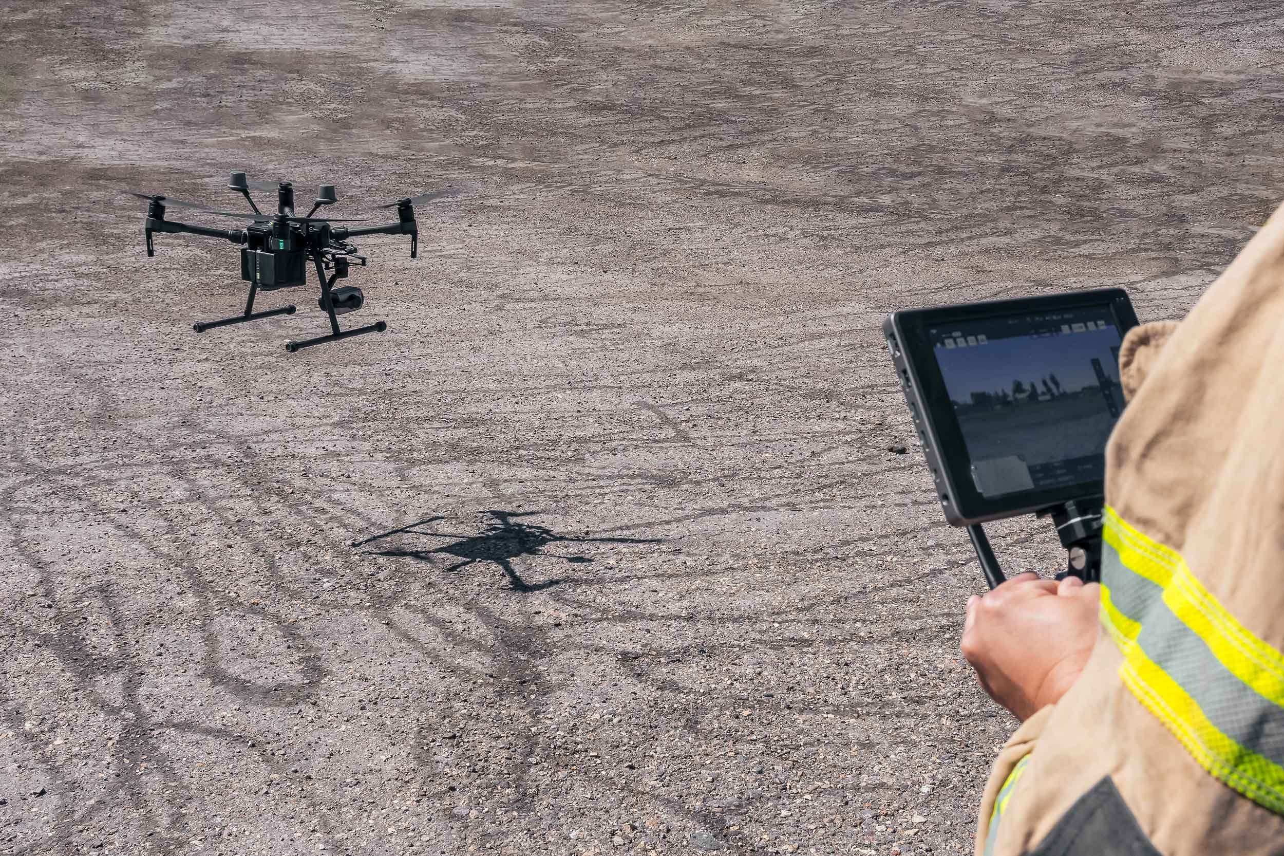
At ARCH Airworks, we combine precision drone mapping with expert analysis to deliver clear, actionable results.
We begin by working closely with each client to understand their unique goals and site conditions. Whether it's an archaeological survey, environmental assessment, or technical inspection, we tailor our flight plans and sensor configurations to suit the project’s needs.
Throughout every stage, we prioritize thorough documentation, responsible data curation, and strict safety protocols. All information is handled with care, and sensitive data is treated with the highest level of confidentiality and respect.
From data collection to interpretation, our streamlined workflow ensures accuracy, efficiency, and respect for the land. The final deliverables are high-quality maps, models, and reports built to inform and support real-world decision-making.